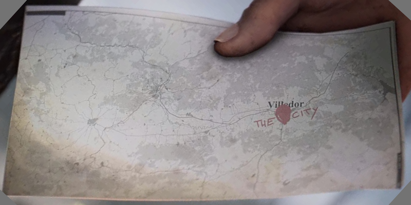
File:VilledorRegionalMap.png
Jump to navigation
Jump to search


Size of this preview: 800 × 400 pixels. Other resolutions: 320 × 160 pixels | 6,912 × 3,456 pixels.
Original file (6,912 × 3,456 pixels, file size: 8.43 MB, MIME type: image/png)
A cropped and rotated screenshot of part of the Dying Light 2 intro, showing a map with Villedor and the surrounding area
File history
Click on a date/time to view the file as it appeared at that time.
| Date/Time | Thumbnail | Dimensions | User | Comment | |
|---|---|---|---|---|---|
| current | 15:55, 9 February 2023 | | 6,912 × 3,456 (8.43 MB) | MetroTrekker (talk | contribs) |
You cannot overwrite this file.
File usage
The following page uses this file: